 German
The date of the inspection was July 6, 26
D
Daniel
July 2026


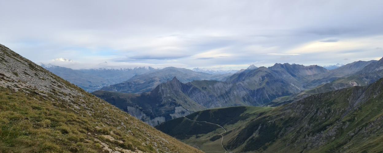
Valmorel is a ski resort in the Massif de la Vanoise, situated at an altitude of 1,400 meters. With 81 slopes and 51 lifts, it offers skiing enthusiasts everything they could wish for. It’s equally appealing to gravel-loving motorcyclists and drivers, as from here, you can tackle the challenging offroad route up the northern slope of the Col du Mottet, culminating at the lift station at 2,385 meters.
Valmorel is accessed via the D 95 from the Isère Valley. Just past the village, turn left at Le Pré towards La Charmette, where a gentle forest trail begins. Passing below the ski stations, you’ll reach a junction where the left-hand path leads to the Col du Mottet. This nearly seven-kilometer detour features steep sections and loose, coarse gravel, requiring a good level of offroad experience. The reward at the top is breathtaking panoramic views of the Vanoise Massif from the lift station.
Back at the junction, continue left. The trail becomes wider and less steep, though still covered in coarse gravel. Pay attention to several stream crossings and switchbacks with loose rocks. Passing the Roset ski station, the route finally connects to the D 213, where you can either head left towards Celliers or right into the Maurienne Valley.
Conditions, closures and tips — from members who drove here recently.
The date of the inspection was July 6, 26
The route is accessible from the end point of the GPS track, no prohibition signs.
Unfortunately, this route is no longer passable! A few 100 meters after the start, you are greeted by fixed no-driving signs. Even a genemiging is not available on request. What a pity! The trail can definitely be deleted from the register.
With the current GPX file, the track leads to a huge construction site where the track no longer leads any further. Absolutely no way forward as everything is blocked. But if you drive down to the hotel, you come to a small bridge. Drive over it and then take a detour to get up. Attention!!! You need a very off-road vehicle with a gear reduction. So not suitable for sprinters etc. By the way, we drove the route on a Sunday. I don't know if you can get up there during the week without getting into trouble with the construction workers, as there is a lot of building work going on at the top at the moment. There were only a few hikers up there on Sundays. But everyone was very nice and always greeted in a friendly manner 😊
We drove that way today, Sunday. We drove over the roadworks and the road is paved. No problem even with a Sprinter. We didn't see any signs.
Unfortunately, it really is closed. The sign is also properly fixed and not temporary. The rod can probably be painted...
There is a "No entry" sign at the entrance to les Avanchers-Valmorel. Entry is also prohibited on the other access roads leading to this track.
 France




 France
 France