German
L
Lars Lepper
??? · Recherche


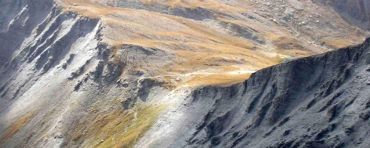
The Col du Fréjus marks a border crossing between Italy and France and is located southwest of Pointe du Frejus. This mountain pass is set in the midst of a breathtaking, remote mountain landscape, offering a picturesque panorama that includes both Italy and France, as well as the Bardonecchia basin.
Starting from Modane, the gravel road can be accessed via the D216. Branches from this route lead to the Col d’Arrondaz and Punta Bagna. Steep sections with gradients of up to 20% and some exposed areas should be considered. An alternative route runs through the Ariondaz Ski Resort.
On the Italian side, the pass ramp has been closed to traffic since 2007, starting from the end of the Valle del Frejus. The route, which begins in Bardonecchia, ends at a former military facility at approximately 2,050 meters in elevation.
Conditions, closures and tips — from members who drove here recently.

 Italy