Community Report, September 2024: Closure reported; the type and duration are unclear. Official confirmation was not available at the time of publication.
The Col de Véry is a mountain pass in the French Alps, situated at an altitude of 1,964 meters, dividing the departments of Savoie and Haute-Savoie. Geographically, it forms a connection between the Beaufortain region in the south and the Val d'Arly in the north.
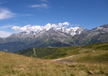
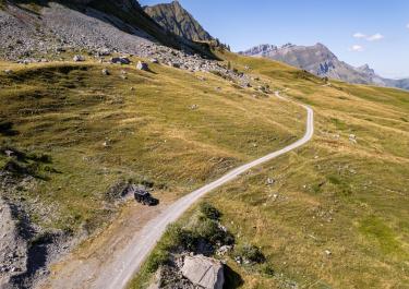
The Col de Véry is accessible from Saisies. The route begins at the parking area of the Col de Saisies and heads east toward the Col de la Lézette. From there, the trail turns northeast, crosses the Col de la Legette, and runs as a ridge road along the southwestern spur of Mont de Vorès, which rises to an elevation of 2,069 meters. Travelers on the well-maintained track are rewarded with breathtaking panoramic views, including the majestic Mont Blanc to the east and the Chaine des Aravis to the northwest.
It is important to note that after the Col de Legette and approximately 5 kilometers before reaching the Col de Véry, the route is subject to a driving ban during the grazing season (summer pasturing period) between 10:00 AM and 6:00 PM. This restriction is in place to protect grazing livestock.


 German


 France