German
Closure or obstruction
At approx. 2100 m elevation gain and mileage 11 km, there is a no passing through sign "Schutzzone". The ban on driving through was also confirmed by a ranger.
K
Kilian
T5 4Motion · 15.07.2025


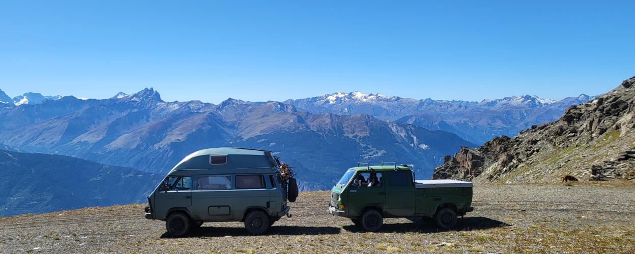
It is not as famous as the Rochilles to the west or the Fréjus to the east. Perhaps that's why the Col de la Vallée Edroite, the pass of the "narrow valley," remains a hidden gem for off-road enthusiasts, whether motorized or not. For centuries, this pass has served as a crossing from Maurienne to Piedmont. In the 1930s and 1940s, it was incorporated into the French Alpine defense system and fortified. It is thanks to this history that we now have the off-road trail connecting the pass to the Maurienne Valley.
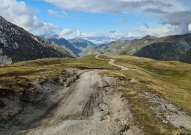
Starting from Saint-Michel-de-Maurienne, take the D 215 and D 82, winding your way up to La Traversaz. From there, turn right toward Le Thyl, and soon the unpaved section begins. Not too difficult to drive, it winds its way up the mountain on gravel. Forest sections alternate with open stretches, providing a calm drive, with a few scattered hairpin turns adding a bit of excitement.
At 2,730 meters, you reach the Col des "Narrow Valley". The summit panorama is breathtaking, and on a clear day, you can even spot Mont Blanc in the distance. It becomes hard to leave, as from here, you must continue on foot.
Conditions, closures and tips — from members who drove here recently.
At approx. 2100 m elevation gain and mileage 11 km, there is a no passing through sign "Schutzzone". The ban on driving through was also confirmed by a ranger.
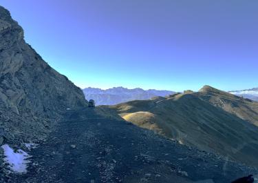
By the end of July 2024, the lower section through the forest up to 'Chalets du Thyl' had been repaved. This meant the trail was very dusty but otherwise easy to ride, aside from the many fairly deep water runoff channels. Above 'Chalets de Beaune,' the trail was quite heavily washed out in places. So we parked in a spot off the trail near the hiking parking lot above 'Chalets de Beaune' and spent the night there (if it weren’t for my wife, I would have driven up to the parking lot ;) ). From there, we explored the area by bike and on foot. Above the hiking parking lot, the trail was even more washed out and only passable with proper off-road vehicles. And on the last section (about 500 m), even a quad bike would have barely made it through, as a large boulder was lying in the path.
 France