

Col de la Moutière

French Alps, France
Photo © Vastram shutterstock.com
Length
14km
Max. Height
2444m
Difficulty
Difficult
Suitable for
motorcyclesuv
Rating

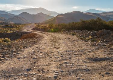
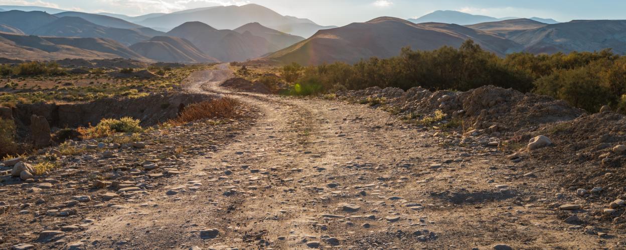
The route over Col de la Moutière offers a fascinating connection between the north ramp of Col de la Bonette and the village of Saint-Dalmas-le-Selvage on the southern approach of this well-known pass. While part of the route is gravel, the section north of the summit is particularly unpaved. In contrast, the southern ramp has now been fully paved, making it easier to traverse.

The summit of Col de la Moutière lies southwest of Cime de la Bonette and is clearly visible from there. About 300 meters north of the pass summit, a gravel track, which is partially quite rough (difficulty level SG 4), branches off westward. This path leads through the picturesque Vallon de la Moutière, descending towards Bayasse, where it meets the northern ramp of Col de la Cayolle (D902).

Elevation
Community-Reports (0 Reports)