German
Thanks for this information. And happy holidays from one safe driver to another :-)
P
Porcobene
July 2026


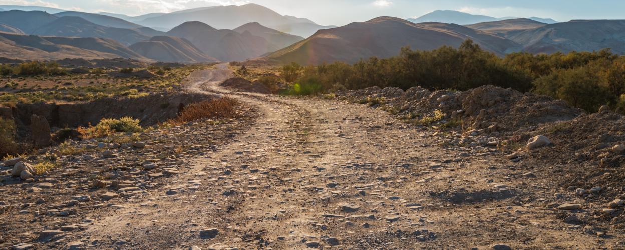
The Col d’Andrion is located in the Alpes-Maritimes department in France and reaches an altitude of 1681 meters. This pass connects Roquebillière in the Vésubie Valley with the Pont de la Lune in the commune of La Tour in the Tinée Valley. The route between Pont de la Lune and the pass is mostly a single-lane road with passing points.
Editor’s Tip: Take a detour to Madone d’Utelle via a small paved road—it’s worth it!
The summit of the Col d’Andrion, which resembles a short ridge road, is located north of the village of Les Fournes. Historically, the military camp Granges de la Brasque was stationed at the pass.
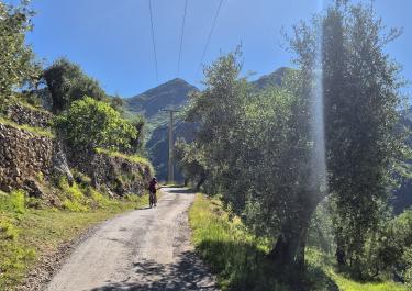
The northeast ramp towards Roquebillière is mostly gravel. Under dry conditions, this wide forest road poses no challenges for experienced gravel riders.
Our recommended route goes from Roquebillière via the gravel section to the summit and then continues over the paved Col Abeille to La Tour.
Conditions, closures and tips — from members who drove here recently.
Thanks for this information. And happy holidays from one safe driver to another :-)
The gravel section is really fun. It climbs fairly steeply and the views are great. The descent along the "paved road" to LaTour drags on a bit.
 France