German
Closure or obstruction
The prohibition sign is still there.
F
FrankenGrizzly
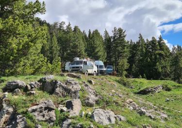
HDJ 100 · 29.06.25



!!! Attention closure !!! According to a message from the community, the route is closed (as of Aug. 2024).
The Col de Buffère is located in the High Dauphiné and offers beautiful views and challenging gravel roads. The access road is located around 2 km west of the top of the pass on the south-west ramp of the Col de Granon.
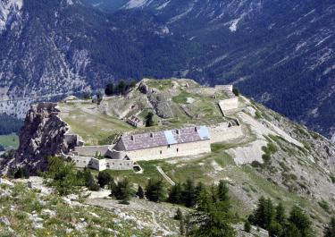
The route is barely maintained and is gravelled throughout. In places, the surface is particularly rough and washed out, and at some points boulders restrict the track. In the upper section, the gradients reach up to 16%. A few hundred meters northwest of the summit, the path leads legally to a former fortress, but driving is prohibited further northwest.
There are different reports about the passability of the slope. When we drove it in 2023, we passed an open barrier about 1 km after the turn-off to Col Granon, without a prohibition sign visible. However, in previous years, there were reports in various online forums about prohibition signs and closed barriers.
Please write your experiences in the comments, just scan the QR code!
Conditions, closures and tips — from members who drove here recently.
The prohibition sign is still there.
The "No Entry" sign is still there.
Beautiful area, but unfortunately closed.
Many hikers on the trail
 France