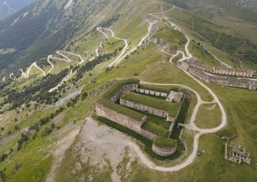
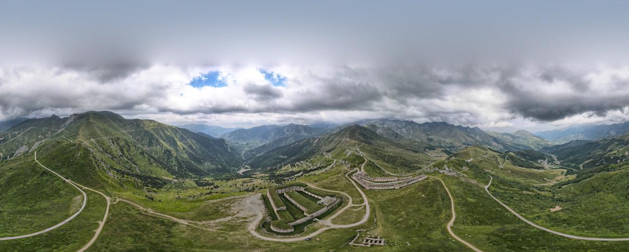
The tour begins with the ascent to the Col de Tende. After crossing the pass and passing a bunker, a track branches off to the left toward Fort de la Marquerie. The route runs along the hillside through open terrain, offering beautiful views of the hairpin turns. On the right, you can spot the remnants of Fort Pernante.
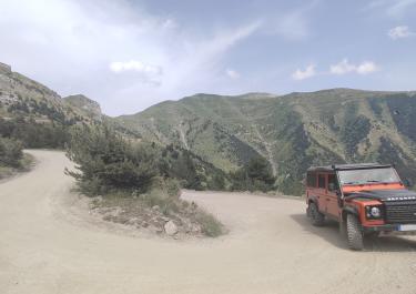
The route continues along the old military road, climbing on gravel to the Baisse de Peyrefique. From this plateau, you’ll enjoy a fantastic panoramic view of the surrounding mountain slopes, dotted with additional bunkers.
Follow the track toward Casterino, and after about 200 meters, make a sharp right turn to take on a challenging extra loop. This route circles the Vallon de Casterino, predominantly on gravel with a few remnants of asphalt. Initially, the path traverses open terrain, before the forest road ascends steeply—up to 15%—through a wooded area. After a short stretch along the slope, the route heads south, running along the opposite side of the Vallon de Casterino.
Just before a signpost pointing to Casterino, make another sharp right turn onto a gravel track. Following the edge of the Mercantour National Park, the route becomes a rough stone path, looping around the Vallon de Fontanalba. After crossing the small river of the same name, the path continues on the opposite side of the valley to Casterino and the D91, which you leave shortly thereafter to head back toward the Baisse de Peyrefique.
This stretch passes mostly through forest, featuring several hairpin turns with gradients as steep as 16%. Below the Baisse de Peyrefique, turn right toward the Baisse d’Ourne. At 2040 meters, this pass offers a breathtaking mountain panorama.
From the Baisse d’Ourne, the road descends through 37 hairpin turns, mostly through the forest, eventually reaching Tende and the D2604.
Community report Oct. 2024: On the track between Casteriono and Peirafica (Peiirefique) on the Tende, a mudslide has buried the road. There is currently no way through here.


 German

 France
 Italy