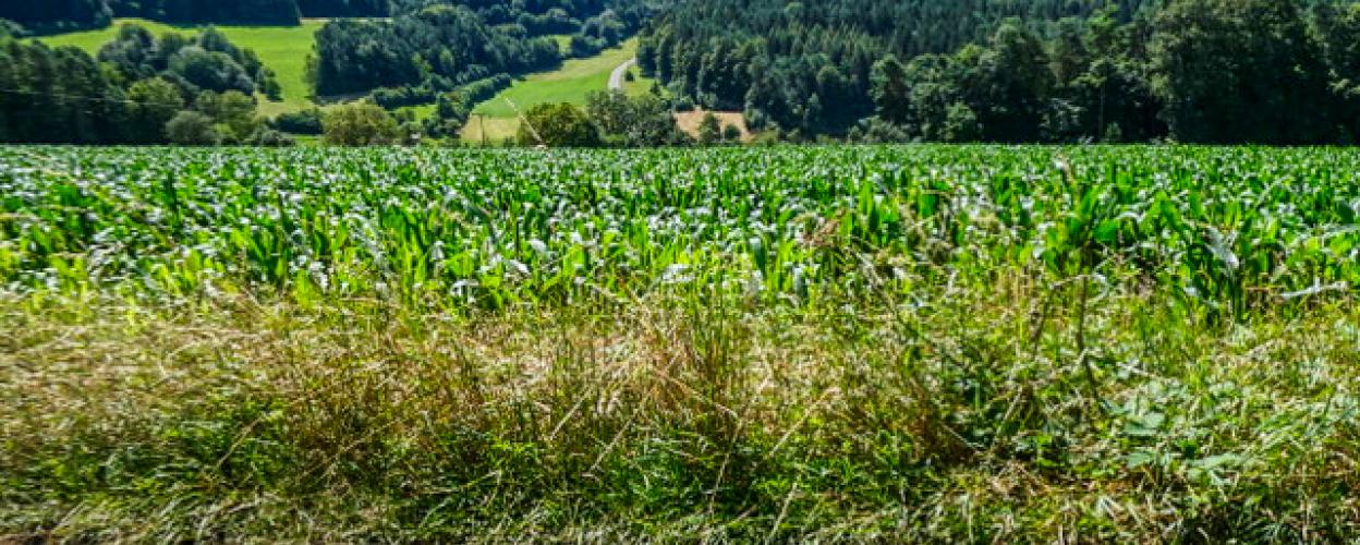
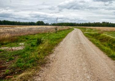
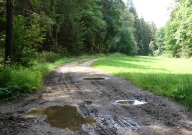
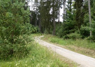
On this route, gravel tracks alternate with sections on tarmac country roads and through towns. The first track connects the Hufeisen wildlife enclosure with the Weidensees motorway junction on the A9. This route is very well developed and well maintained. You can occasionally expect to encounter confused drivers from out of town who can't believe they're in the right place. Because of the wildlife enclosure, there is increased excursion traffic on weekends.
Later on the route, you cross the Klumperbach on an easy-to-drive gravel path downhill and then gain altitude again in a few bends. On the way, we pass the "Am Stachus" hiking car park. This is exactly how it is on nice weekends, here in the heart of Franconian Switzerland.
After the turnoff in Willenreuth, we first go downhill on narrow tarmac before gaining altitude again on nice gravel. To the right of the path, the various Stations of the Cross are depicted as shrines.
In the village of Kosbrunn, the route goes uphill on a narrow tarmac road before the easy-to-ride gravel path begins at the top. Relatively early on, you have a beautiful view of the small Kulm.


 German