German
Coll dels Prats
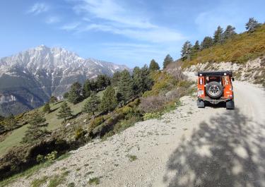
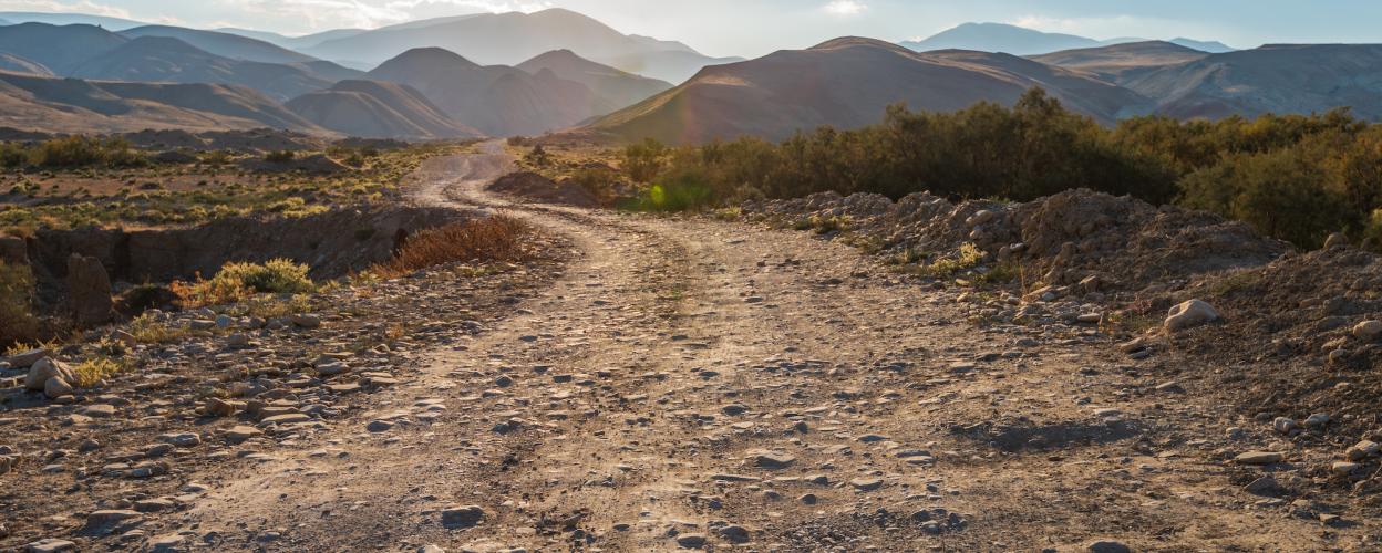
On the southern flank of the Serra di Moixeró there is an off-road route that connects the valleys of the Panta de la Llosa dell Caval reservoir and the Riu el Llobregat river. There are viewpoints, yes, lots of them, as is usually the case on routes in the foothills of the Pyrenees. There are also pretty hamlets and abandoned settlements along the way. Also like on most routes in this region. But what makes the trip described here so special is the driving challenge it presents. Admittedly, the Pyrenees and their foothills are not exactly overrun with difficult off-road routes. This makes this trip to the Coll dels Prats all the more interesting for the experienced off-road driver.
Start at around 1,100 meters in altitude in the town of Figols above the Riu el Llobregat. Five kilometers of asphalt uphill, then transition to gravel. A forest path curves quickly up the mountain to 1,770 meters. Level of difficulty: easy so far.
After that, it's a bit of a downhill stretch. And now things get exciting: deep gravel, rough stones, longitudinal furrows, steps and switchbacks make for a tough off-road mix. The lowest point is reached at around 1,400 meters, after which the track climbs the flank of the Coll dels Prats in slightly wider curves. Surface: still rough. Past the turnoff to the abandoned village of Montcalb, there are still a handful of challenging switchbacks to master, then the all-clear can be given. A look down to the Panta de la Llosa dell Caval reservoir, and below the hamlet of Llinars, asphalt rushes beneath the wheels again.
Latest reports
Conditions, closures and tips — from members who drove here recently.
 Spain