 German
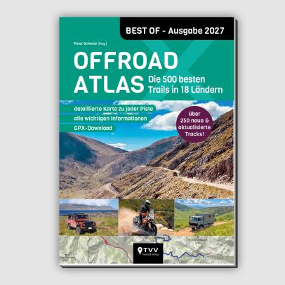
Our successful off-road atlas is now in its second edition and has already established itself as a classic! Now 450 off-road tracks are presented with important information, bri...



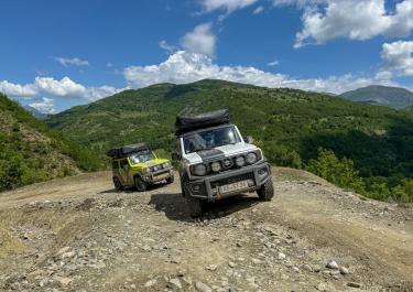
It’s called Maja e Lalucit, and at 2,155 meters, it’s the highest peak of the approximately 30-kilometer-long Lunshëria mountain range. The range drops steeply to the west into the Drinos River valley, while its eastern side slopes more gently. This makes the western flank its most striking feature. A pass road crosses the mountain range at Qafë e Çajupit at an altitude of 1,310 meters. Now for the good news for off-road enthusiasts: there’s a challenging off-road track around Maja e Lalucit, complete with steep climbs and narrow sections.
The starting point is the former Odrie municipality, which was absorbed by the city of Gjirokastër during the 2015 administrative reform. The gravel tour begins near the village of Labovë e Vogël, where the asphalted approach from Gjirokastër ends. By the way, Labovë e Vogël has nothing to do with birds—vogël means "small" in Albanian, so the name roughly translates to "Little Labovë."
Just past the village, the trail heads southeast over the Qafë e Çajupit pass. A well-maintained gravel road allows for good progress—if not for the occasional very narrow gravel sections or muddy dirt paths, which ensure the route remains exciting. Starting at Poliçan, the track becomes increasingly picturesque, winding along the banks of the Grykës stream in a series of curves.
This continues until you reach the vicinity of the village of Drino, after which the trail ends about a kilometer further south in the Drinos River valley.
Conditions, closures and tips — from members who drove here recently.

 Albania


 Albania
 Albania