 German

Our successful off-road atlas is now in its second edition and has already established itself as a classic! Now 450 off-road tracks are presented with important information, bri...


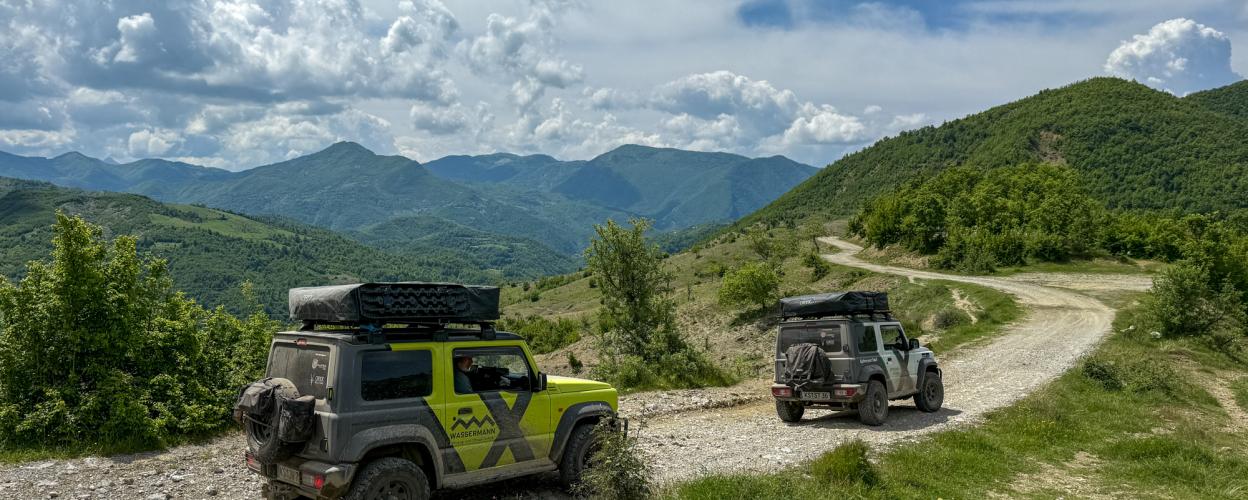
The Mali i Shpatit is a mountain massif located southeast of Elbasan. It stretches 12 kilometers in length and 5 kilometers in width. Its highest peak is the Maja e Bukanikut, standing at 1,823 meters. Compared to other natural areas in Albania, the Mali i Shpatit is relatively well-preserved, featuring vast untouched forest areas and diverse wildlife. The main town in the region is the small settlement of Gjinar, home to around 3,500 inhabitants, where a local market is held every Thursday.
The charmingly located Gjinar, perched on a hilltop, is accessible from Elbasan via the paved SH 88. At the end of the town, the offroad section of this tour begins immediately in the form of a coarsely graveled track. On mostly open terrain with beautiful views, the route winds its way alternately downhill, uphill, and along hillsides in a wide arc heading southwest. Along the way, it passes through the villages of Pashtresh, Burristhë, Zavalinë, and Jeronisht, eventually descending in a series of curves into the valley of a serene stream. About two kilometers before the hamlet of Liras, the gravel ends and the asphalt begins. Four kilometers later, the road meets the main highway, which continues leftward as the SH 71 toward Gramsh.
Conditions, closures and tips — from members who drove here recently.

 Albania

 Albania

 Albania