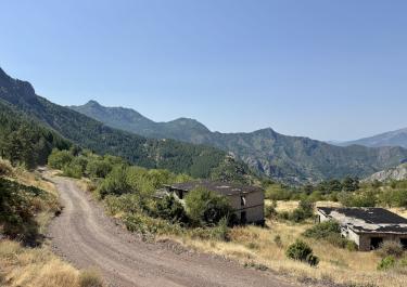
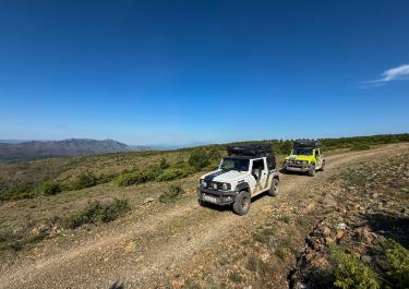
Just east of Rreshën lies an exciting off-road track connecting the villages of Gjegjan and Rrape. This route offers a relaxed gravel adventure with varied terrain and charming views of the surrounding mountain landscape.
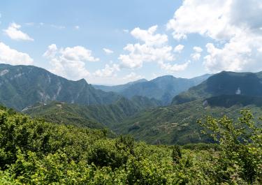
Coming from the A1 motorway, take the Reps exit and follow the SH30 north to the village of Gjegjan. Just outside the village, a gravel track begins, winding its way uphill through a dense pine forest. Initially, the trees limit the view, but as the forest clears, expansive vistas open up over the valley to the right and the mountains beyond.
The track continues climbing, eventually reaching its high point at an elevation of 1,235 meters. While some sections feature loose, deeper gravel, the route is generally easy to navigate.
Descending back into the dense pine forest, the road surface becomes rougher, with deeper potholes and larger rocks. Nevertheless, it remains manageable. Finally, the track meets the SH5 road between Pukë and Rrape, marking the end of this off-road adventure.


 German

 Albania