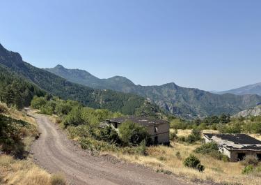
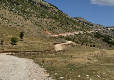
In addition to serving as a refuge for endangered species such as the Balkan lynx, the Munella Mountains also fulfill a very practical purpose: copper mining. The copper deposits in this region are easily recognizable to the naked eye due to the predominantly red color of the soil. For off-road enthusiasts, this becomes particularly interesting because the copper ore must somehow be transported from the mines to processing facilities. This is done by truck, which in turn requires a network of roads. Fortunately for us, this network in the Munella Mountains consists almost entirely of gravel tracks.
One such gravel track offers a varied and scenic route from Gojan i Madh in the north to Reps in the south. You can reach the starting point, Gojan i Madh, from the north via the SH 5 and SH 30. The track, wide and finely gravelled, winds its way uphill in countless switchbacks and curves until it reaches the mining village of Kimëz. From there, the track narrows and becomes noticeably rougher—clearly, no trucks use this part of the route. Occasionally, soft earth crunches under the wheels, while elsewhere the surface alternates between coarse and fine gravel.
The route passes by the settlement of Gurth-Spaç, near which stands a former prison camp whose inmates were forced to work in the mines during the communist era. The track then widens again before finally meeting asphalt just before Reps.


 German
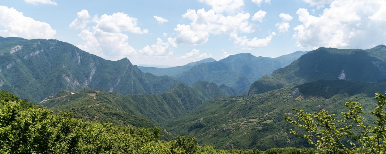

 Albania