German
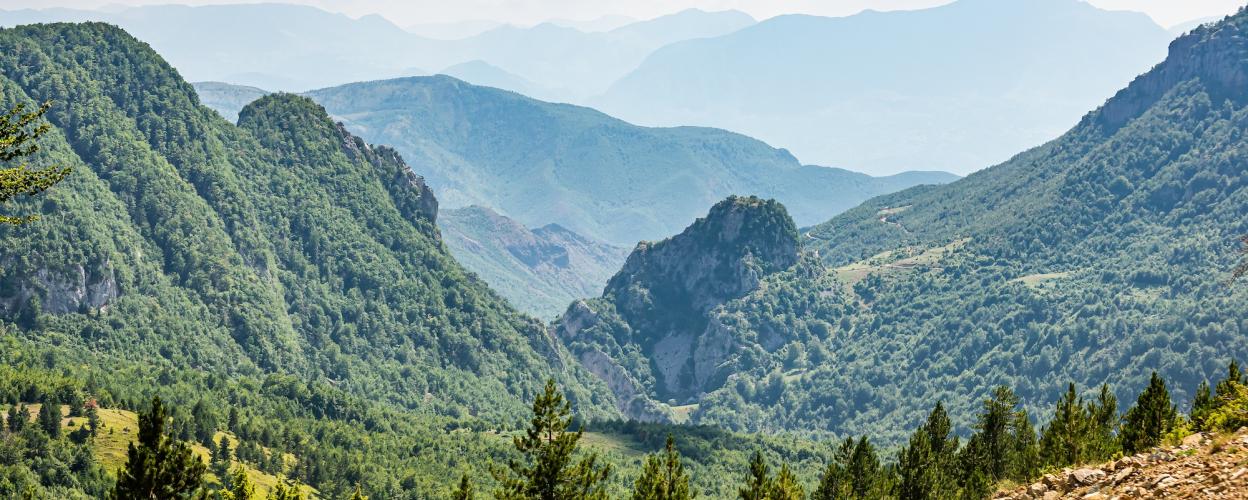
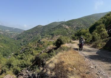
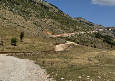
It’s just as described. It’s nearly impassable even in a 4x4 and very difficult. Tip: There are some tracks left by previous vehicles—follow those tracks. The official road is no longer drivable there! The bend in the route is no longer drivable by car; the path is overgrown. I imagine it would also be very unpleasant on a motorcycle, with branches constantly hitting your head. Elsewhere along the route, the branches also jut out far into the path. It took me a total of 1 day to complete this route in a 4x4. Not recommended in the rain, as some sections are extremely exposed. If the car slips there, you’re dead. It drops almost vertically for 300 meters.
I
Isler
Toyota, Land Cruiser · 02.+03.06.2026
 Albania