German
A good track would classify it as easy.
J
Jonas
Toyota Land Cruiser HZJ78 · 6.10.26


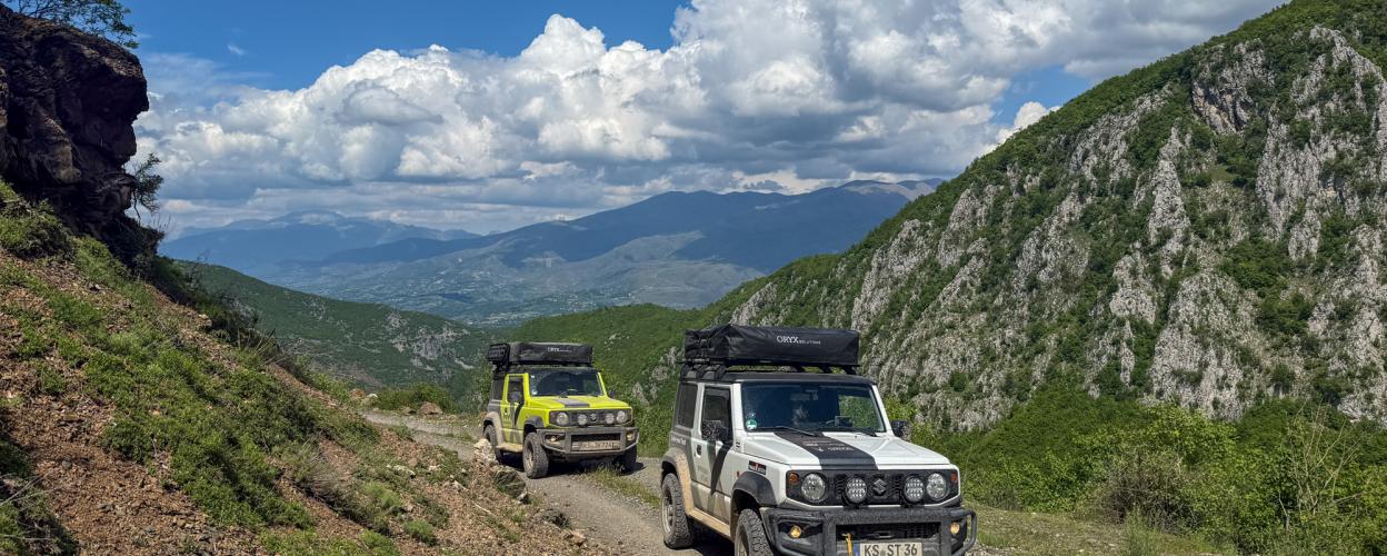
West of Tirana lies a small yet remarkable nature park called Mali me Gropa. It is a remote mountain region where, apart from a few scattered settlements, there is no trace of civilization—likely due to its designation as a protected area. This makes the journey along the offroad track that traverses the nature park a truly unique experience.
Coming from Elbasan on the SH 3, turn left at Labinot Fushë onto a narrow road that winds its way into the mountains for about 15 kilometers on pothole-ridden asphalt. Near the settlement of Labinot Mal (about six kilometers before Qafë), turn left again, this time onto a gravel track. The surface varies from fine to rough, demanding close attention, especially on the numerous curves and switchbacks. The track climbs steadily until it reaches its highest point at a crossroads (where a branch to Bizë and Bulqizë veers off to the left).
From here, the road surface becomes more civilized. Wide and well-maintained, the track alternates between stretches of mixed forest and barren highlands. Near Guri i Bardhë, you can explore the typical border bunkers that dot the landscape. Finally, the route descends through a series of challenging curves and switchbacks into the valley of the Mat River, where it meets asphalt just before the village of Fshat.
Conditions, closures and tips — from members who drove here recently.
A good track would classify it as easy.

 Albania



 AlbaniaAlbania