German
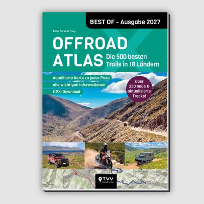
Extreme ruts from the halfway point. When driving in June, various mud holes ~0.5m deep. At about 20km there is a small village, after which the track becomes very difficult to ride even on a motorcycle, if you make it down at all through the deep gullies and the stone fields you come out in a river which you either have to ride through for a long distance in the direction of flow or you take a hiking trail next to it, it is practically impossible to turn back once you are in this section. Due to this part, the track is completely misleadingly classified as easy and is in no way suitable for beginners, driving with large vans or trucks, as indicated in the book as suitable (!!), is completely impossible and life-threatening, I wouldn't even drive it with a jeep!


Central Albania · Albania
Between Lake Ohrid and Devoll
44 km·up to 1.403 m·Difficult·
Length
44 km
Max. Height
1.403 m
Difficulty
Difficult
Rating
★ 3.0
1 reports
Çerravë - Gurshqipe
Elevation
From the community
Latest reports
Conditions, closures and tips — from members who drove here recently.
D
Dominik
Enduro (Honda Africa Twin) · Juni 25
Keep going

 Albania