German
A real off-road adventure – varied and absolutely worthwhile! We had perfect weather, which made the tour even more enjoyable. However, if it rains, you should definitely allow more time, as the route can become significantly more challenging depending on your vehicle and equipment. Important note: Right at the start, there is a fork in the road. Be sure to keep to the right! The new road looks almost like a motorway at first, but don't worry – that changes quickly and becomes really exciting. The left-hand road is not officially closed, but after about 3 kilometres it is blocked by a landslide and is impassable (see picture). A highlight of the tour is a stop at Kafé Pojana, about halfway between Tropoja and Doberdol. There you can stop off at a warm and welcoming family's place – an ideal spot for a break or a delicious lunch in the middle of the wilderness. We spent the night in Doberdol in a roof tent at a campsite. The food was very good and authentic. Have fun, Mirco.

Doberdol Pass
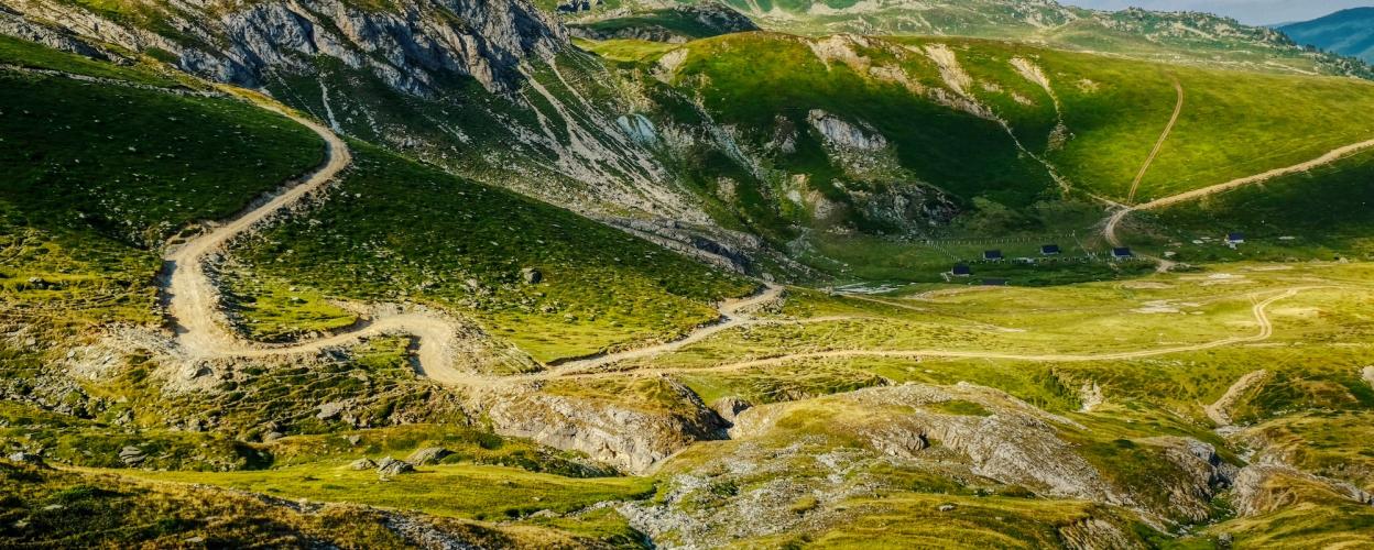
The Albanian Alps are located in the far north of the country, flanked on either side by Montenegro and Kosovo. The highest peak is Jezerca, standing at 2,694 meters. The second-highest mountain in the massif, Gjeravica, is on the Montenegrin side and reaches 2,656 meters. Our challenging off-road tour takes the shape of a horseshoe through the Albanian Alps, traversing the tri-border region of Albania, Montenegro, and Kosovo via the 2,214-meter-high Dobërdoll Pass.
The off-road trail begins shortly after the town of Tropoja. The first stage winds through a steep gorge, following a stream that can be crossed via several bridges or fords, depending on your preference. Gradually, the trail gains altitude, hugging steep cliffs and featuring plenty of challenging sections with coarse gravel.
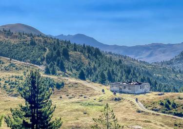
At an elevation of about 2,000 meters, the trail becomes less demanding. A wide high valley opens up, dotted with several mountain huts. The route passes through the village of Dobërdoll before finally reaching the Dobërdoll Pass at 2,214 meters. A break here is a must—the panoramic view of the Albanian Alps is breathtaking.
Close to the border with Montenegro, a forest path gently descends. Occasionally, trenches, ruts, and streams crossing the trail keep things interesting and the adrenaline pumping. After one final ascent, the charming mountain village of Çerem comes into view. The final stretch follows a straightforward gravel road down into the valley, ending in Bajram Curri, the conclusion of this remarkable loop.
Latest reports
Conditions, closures and tips — from members who drove here recently.
Thanks for your feedback, Mirco! We really wanted to take Trail 35, but with all the rain and thunderstorms right now, we'd rather drive straight to Valbonë. Thank you very much
Tracks Nearby
 Montenegro



 MontenegroMontenegro