Col Vidal


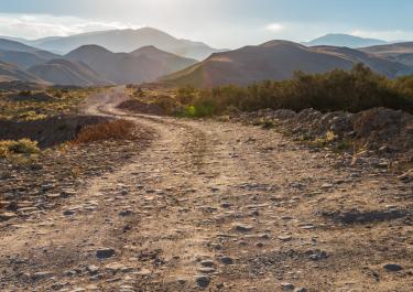
Beautifully situated on the Piave River, the Municipality of Lozzo di Cadore is the starting point for the journey on the 1876 m high Col Vidàl. The route has it all. If you want to drive on it, should have a little gravel experience and also on the weather conditions respect. The underground transforms in wet conditions in an extremely unpleasant glissade. The first kilometers of the tracks are narrow, but still well developed and with wonderful curve sequences.
At kilometre 15, at the former Rifugio Marmarole, is then depending on how you look at it, end or start with fun. This is where the gravel begins on a small forestry path, left hand side to the Rifugio Baiòn (1828 m) and on the right to the Col Vidàl (1876 m). This partial will be played in the months of July and August with temporal directional traffic. Between 9 a.m. and 1 p.m. you can go up, and between 2 and 5 p.m. drive down. Directly at the top of the pass the remains of Forte di Col Vidàl. The former fortress was built during the First World War.