Fort Cuguret


!! Attention, closure !!! According to a report from the community, the route is currently closed (as of July 2024).
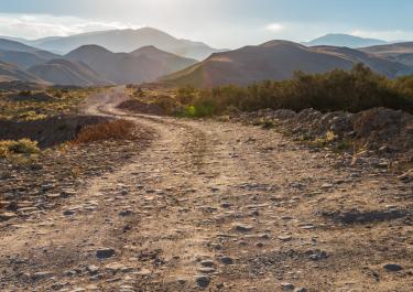
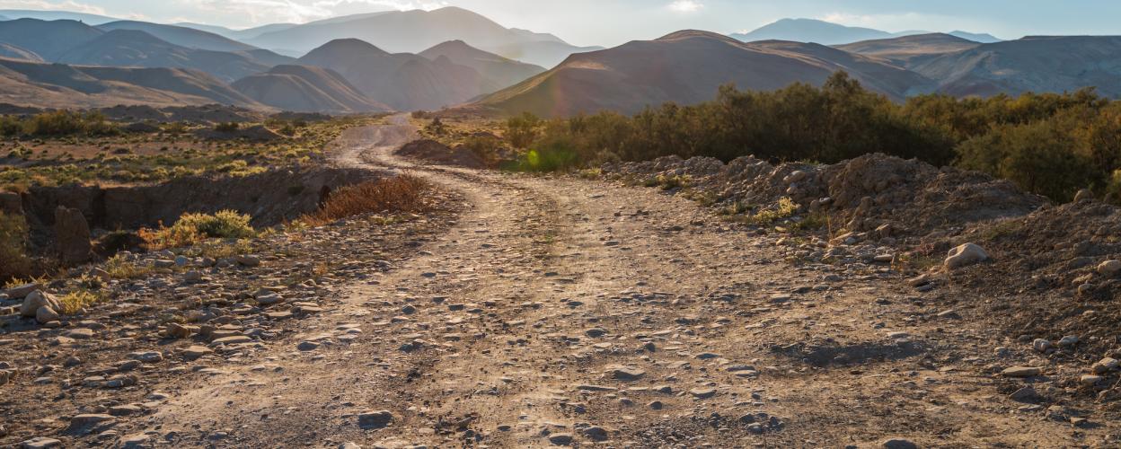
A 4 km-long detour, with some challenging steep sections, leads up to the Fort de Cuguret, where visitors are rewarded with a breathtaking view of the Ubaye Valley and the famous Col de la Bonette.
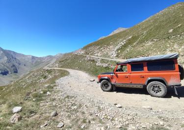
The starting point of the route is located on the D 9000 between Vars and Jausiers. First, you cross the L'Ubaye River via a bridge. From here, the gravel path begins, marked with signs pointing towards the fort. The route winds alongside rock faces, climbing up through the forest in hairpin turns. Steep and flat sections alternate along the way. After passing an antenna mast, you reach a clearing and the endpoint of the route at the remarkable Fort de Cuguret. Well-preserved fort walls enclose a courtyard.
Here, visitors can enjoy the beauty of the mountains and peaks of the French Alps. The return journey follows the same route downhill back into the valley. A detour to Jausiers is recommended at the end of the tour. The village features a small lake surrounded by a lovely park, as well as many inviting cafés and restaurants in the charming streets.