Malga Monte Garda
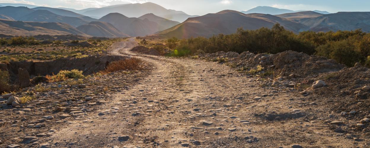


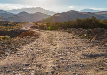
From Pianezze on the SP 143, this relaxed 25 km tour leads over Monte Cesen and ends at the SP 1 in the valley in the village of Lentiai. Breathtaking views of the Venetian plain await you.
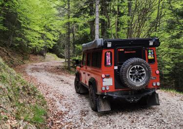
The starting point is the town of Valdobbiadene on the SP 36, near the Piave river, to which this beautiful route runs parallel. First, a very curvy tarmac road leads up into the mountains. In large hairpin bends it goes through the forest, past bare mountain slopes and some cow pastures. The gravel road begins at a lake above the village of Pianezze. A hiking trail takes you up to the summit of Monte Cesen, from where you can see the Dolomites and the Venetian lagoon. The slightly uneven gravel road continues through the forest and leads to a plateau. The beautiful Malga Garda with good food is recommended for a rest. On the mountain ridge overgrown with flower meadows, great panoramic views can be enjoyed in the next section. In the last stretch down the valley, you pass the hamlet of Colderu and reach the end point in the small village of Lentiai. Here it is worth taking a detour to Lago die Busche with its bar and pebble beach.