Monte Jafferau


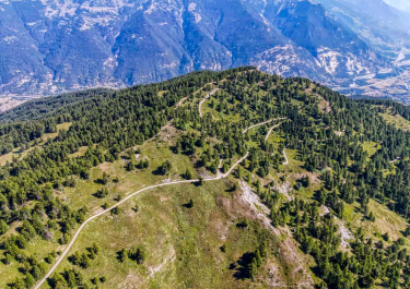
Not far from the border with the French region of Auvergne-Rhône-Alpes is the 2801-metre-high Monte Jafferau in the middle of the Cottian Alps. Fort Jafferau has been perched on its summit since the 19th century, but unfortunately it has not survived the passage of time and is now only a ruin. The path up is steep and sometimes impassable - so it is either hated or loved. For enthusiastic enduro riders, it is one of the most popular destinations in this part of the Alps.
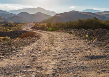
We recommend the following route: Start in Salbertrand, as this is where the Strada Monginevro first branches off to the north and offers three well-built hairpin bends right at the start. A few kilometers later, the road surface changes: while up to this point, the route climbs up to lofty heights on asphalt, the rest of the way is gravel.
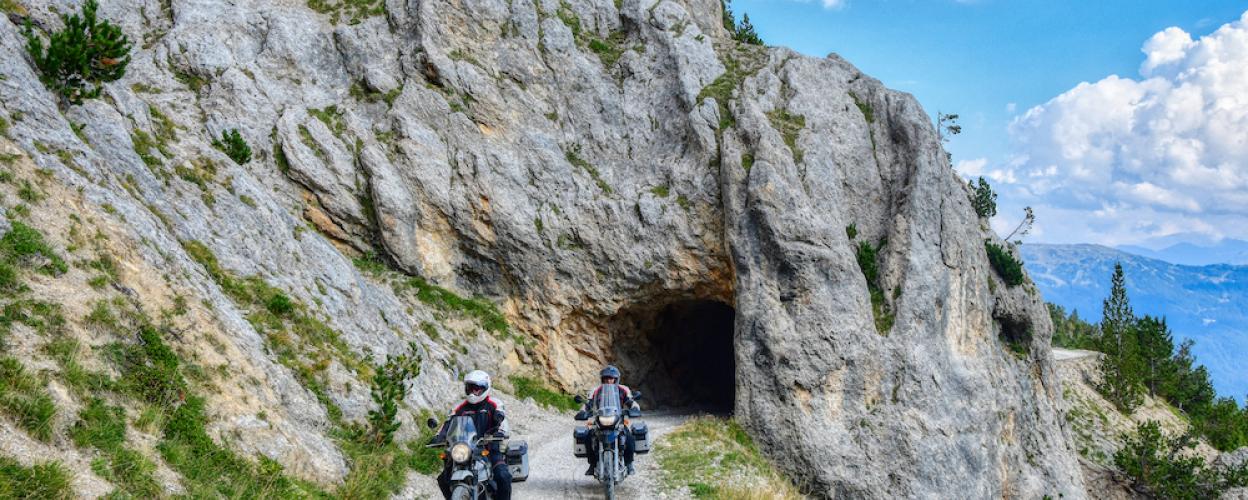
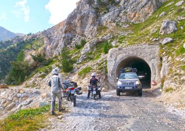
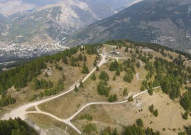
Now ignore the turn-off to Monte Pramad and head to the eastern portal of a very narrow and unlit tunnel that is just under a kilometer long. This access road was closed for a good five years due to the risk of collapse, but has since been reopened following renovation work in 2018. Back in daylight, you come to a fork in the road where you have to keep to the northwest in order to reach the Col Basset and finally Mont Jafferau via several hairpin bends. The last hairpin bend before the fort was also impassable for a while, but can now be tackled again.
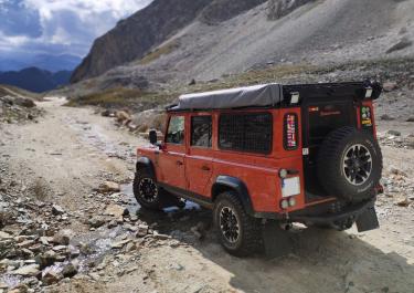
The route continues west on gravel to the Hotel Jafferau. This section is a real challenge, but from the hotel onwards the route is paved again. It leads to Bardonecchia in no less exciting hairpin bends and curves.
Alternatively, you can also approach Monte Jafferau from the south: To do this, start in Savoulx, from where the route also climbs up on gravel with plenty of hairpin bends.


No time restriction from A, at least nothing was written on the board.
The route from Bardonecchia to Forte Foens is currently closed due to a landslide. It is currently not possible to get all the way up to Monte Jafferau, there is still a snowfield in the way
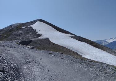

We drove the route from Bardoneccia. The route is actually closed on a Friday, but we must have overlooked the sign. You can get all the way to the summit. The two alternative routes were closed due to landslides. The route is strenuous but worthwhile.