Passo della Pianella - BLOCKED

!!! Attention, closure! According to a message from the community, the route is closed (as of May 2024)!!!
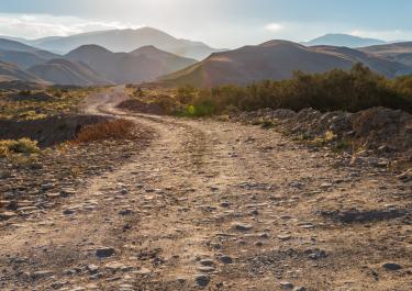
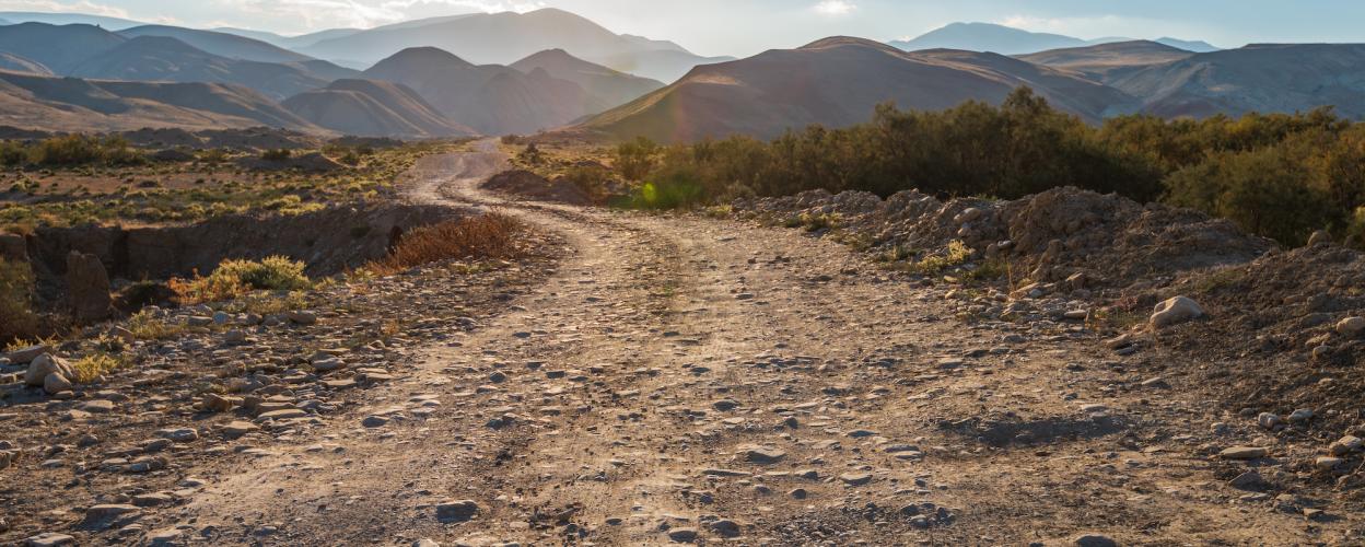
From Passo Coe in Trentino on the SP 143, this 23 km tour leads to Arsiero on the SP 81. In a prime hillside location you will find an excellent slope through wild nature and intensive vegetation.
Directly next to the SP 143, the track runs in the first section as a small tarred road, initially winding downhill, past a pond and 2 country houses. Isolated trees border the path. On the narrow, partly stony path, bordered in some places by wooden railings, you ride close to the slope. In this section there are many beautiful viewpoints with wonderful panoramic views. You pass through the small Pianessa tunnel carved into the rock. And continue through an area of dense forest up to the Passo della Pinanella. From here over a section of the route where forest and clearings alternate with many lush meadows, downhill again. Via Weiler and the village of Crosara to the SP 81. In Arsiero there is a nice pedestrian street with cafes and restaurants. In the area there are also fantastic swimming spots on the Astico River with small canyons and turquoise blue water.