Through Lindenhardt forest and well of Rotmain
Franconia, Germany
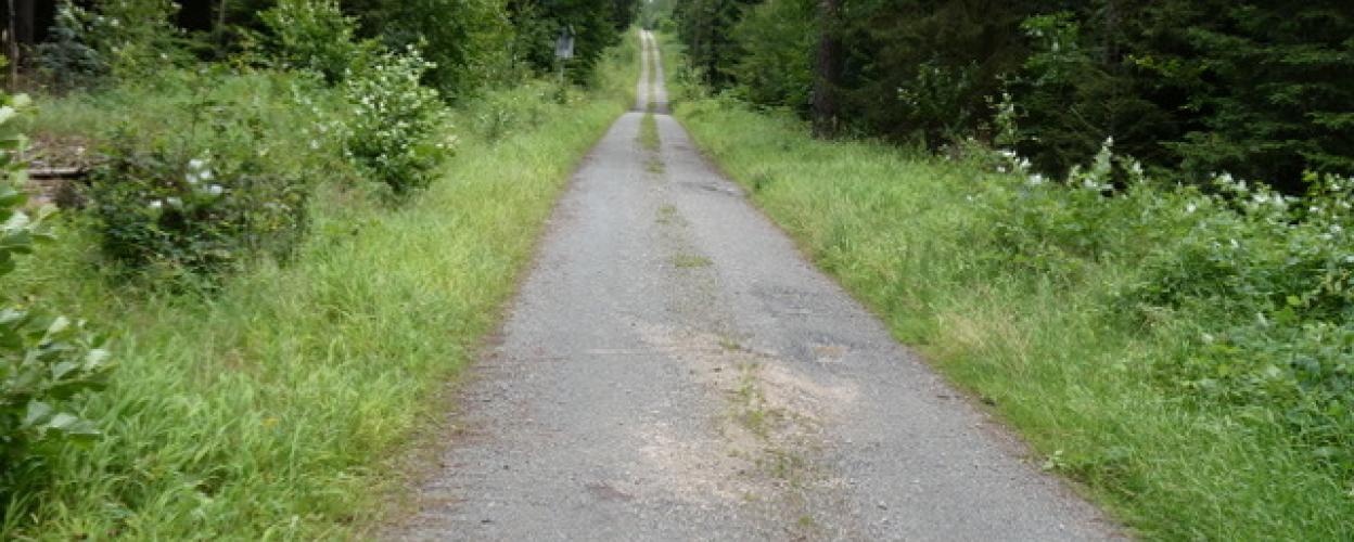
Photo © c Horst ZinnertD11 3
Length
9km
Max. Height
603m
Difficulty
Light
Suitable for


Rating
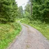
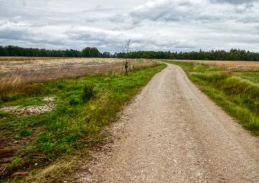
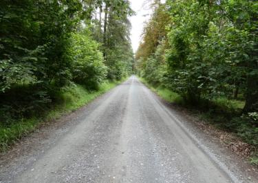
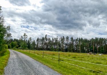
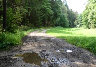
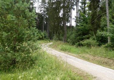
The wide gravel road, which is well maintained because of the wind turbines, leads through the forest and you can either turn right straight away or drive to the motorway and then turn left to the Rotmainquelle on the way back. The last few meters before the start of the cobblestone/tarmac road are a nice curve swing.
Elevation
Tracks Nearby
Community-Reports (0 Reports)
